GEOCOM LTD
Kazakh Geophysical Company Limited Liability partnership
SERVICES
2D and 3D ground seismic
Seismic exploration takes a leading place among the geophysical methods used in the search for oil and gas deposits.
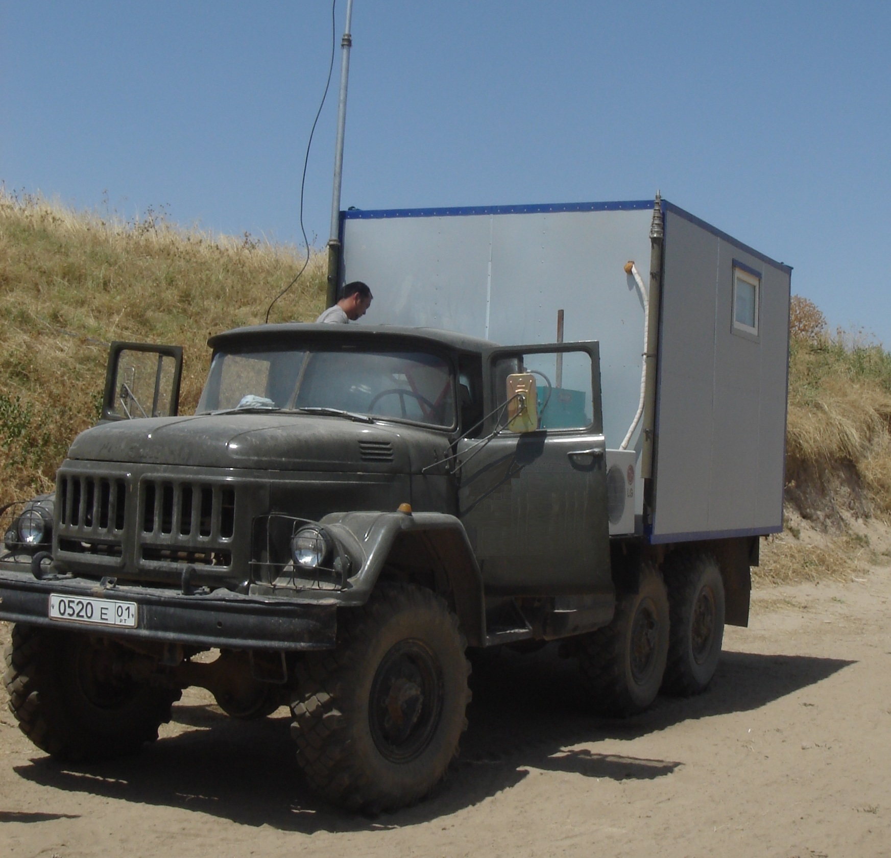
GEOCOM LTD carries out seismic exploration in any configuration – 2D, 3D, including high-resolution seismic exploration on land, in the transit zone and in mountainous areas.
The method is based on the study of the propagation in the earth’s crust of elastic waves caused by an explosion or shock. Penetrating into the geological environment, the waves are reflected and refracted and partially return to the surface of the earth, where they are recorded by the seismic station. The propagation time of the waves and the nature of their oscillations allows us to define the composition of the rock, the depth and the shape of the reflecting geological boundaries.
2D terrestrial seismic work, as a rule, involves a full range of exploration work, including processing and interpretation of data with the issuance of recommendations for exploration drilling.
3D ground seismic operations can be performed using 2 types of sources of excitation of seismic signals – explosive and vibrational. In recent years, GEOKOM LTD has completed a large number of projects.
The study of weathering zone
To study the upper part of the section, such methods as seismic refraction and uphole velocity survey, both direct and reverse, are used.
All projects are carried out in compliance with all the local national and international requirements of accidents preventions and HSE.
Processing and Interpretation
Western Kazakhstan.
The area of salt dome tectonics. In the inter-dome troughs, reflections with a high quality of traceability were recorded. In the subsalt stratum, the reflections required by the geological and technical task are highlighted. Interruptions in traceability are due to deep seismic and geological conditions and complex tectonics.

Processing and interpretation of geophysical information is a key step in the search and development of deposits. Thanks to the latest technologies used in carrying out these works, it is possible to study and interpret the results of seismic exploration in detail and to build maps of the location of oil-bearing strata, which will make it possible to determine the location for future drilling with high accuracy.
Conducting processing and interpretation in one company, allows you to get the most reliable and accurate information about hydrocarbon deposits. This is due to complexity of the process of processing and interpreting of seismic data. Working together, specialists can reduce errors and compare the results of their research. As a result, the customer receives the most accurate forecast based on the data obtained by the researchers.
The complex has full-fledged jobs and facilities for processing and integrated interpretation of seismic data. For these purposes, a software package is used that is adapted to work on personal computers and workstations. Software modules of the computing complex allow to perform a full graph of processing and integrated interpretation of seismic data in large volumes.
Types of work performed:
Processing large volumes of 3D / 2D terrestrial seismic data
Processing complex surveys in transit areas with multiple interference waves
Solving the problems of subtracting complex static anomalies
Isolation and display of carbonate structures
Construction of deep-speed models
Performing migrations in the deep and temporal regions, including the migration of duplex waves
AVO analysis
Amplitude and elastic inversion and lithological analysis
Construction of temporary structural maps for selected complexes
Seismic stratigraphic analysis
Fulfillment of lithology forecast and selection of oil and gas prospective objects
Geological modeling
Archiving and creating a seismic database
Copyright © 2025 Geocom LTD |